Every year when I visit the Netherlands I encounter changes to their road layouts and often remain surprised at how they change and upgrade their roads constantly. This year it happened within seconds of arriving, as the ferry terminal has been completely reconfigured with the previous road removed and replaced with a cycle track that now leads directly into the ferry terminal. I also wrote a thread on twitter about some of the many changes to the road layouts in Amsterdam I saw this year, compared to only last year. I have visited Eindhoven just once before, back in 2016 (only a few days after the UK voted to leave the European Union). I knew that there was bound to be changes to some of the road layouts in the city in that time and so will document two of them I encountered here.
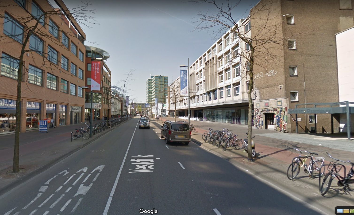
Eindhoven has a rare layout for a Dutch city but something which is very common for a UK city - a one way system surrounding the city centre for motor traffic
The one way system for cars that surrounds the city centre of Eindhoven. Within this ring are mostly pedestrianised or cycling and walking only streets. Mostly shops to the north and many bars and restaurants with outdoor seating to the centre and south. There are also a few busy east / west routes through here for people cycling but driving is largely not possible, or for access only
When I visited Eindhoven four years ago the section of road to the east of the city centre that formed this ring had two lanes for motor traffic in one direction with a contraflow bus lane in the opposite direction, then uni-directional cycle tracks (or in a few places painted cycle lanes) on both sides of the road, allowing cycling in both directions anywhere on the ring road.
The eastern section of the inner ring road in Eindhoven in 2016. A contraflow bus lane and two lanes for motor traffic in one direction, with pavements and cycle tracks on both sides
The local authorities took the decision to improve this road, not by removing the one way system, but by keeping it but removing one lane of motor traffic to create more space for people walking and cycling.
The same location as the photo above, four years later. By removing a lane for motor traffic it has allowed space for a wide bidirectional cycle track with greenery and cycle parking on both sides of it
The new road layout is brilliant, the greenery between the cycle track and bus lane is lovely
The greenery also breaks up at regular intervals for cycle parking, which is plentiful
The new cycle track is very smooth, with drainage located along the kerbs at the side of the track
Although I had no idea back in 2016 that these changes would occur I took quite a few photos of this road from the cycle track so can manage a few before and after comparisons but google streetview does a good job of showing how much road space has been taken here
2016
The same location in 2020. By removing a vehicle lane and one of the cycle tracks there is room for a wide bidirectional cycle track and greenery along both sides of the road to shield people walking and cycling from the noise of motor traffic.
2016
Plenty of new trees and plants have been added
It's difficult to work out exactly what space has been taken from where and reallocated as the entire road has been reconstructed from building to building. The footway, cycle tracks and roadway have all been dug up, all the trees that were there have been cut down and even the drainage has been moved so the only real reference point to compare the two are the buildings alongside the road.
2016
2020
In the photos below the manhole cover at the edge of the cycle track is the only marker to show the footway space stays roughly the same, trees have replaced the cycle track, the new cycle track is where the bus lane was and more trees where the roadway was. I assume part of the old cycle track on the other side has become roadway but it is difficult to tell
One of the few photos I took whilst cycling on the other side of the road back in 2016
The cycle track here has been replaced by trees and greenery.
and in some places there was only a painted cycle lane meaning anyone overtaking had to use the lane for motor traffic, but now they have a wide bidirectional cycle track on the other side instead
In some areas the footway has been increased
The new bidirectional cycle track is very wide
2016
2020
The lorry driver here decided to change his route and so turned round and drove up the cycle track. He's not supposed to do that of course, but it does help illustrate just how wide the new cycle track is
I remember stopping to take the photo below back in 2016 as I thought it was a good example of a continuous footway and continuous cycle track passing the vehicle entrance to a service area of an office complex
It still is a continous footway and cycle track passing it, just that now it is a bidirectional cycle track.
That border between the cycle track and roadway normally filled with greenery or cycle stands also acts here as space for the driver to stop and wait for any passing cyclists before crossing the cycle track to gain entrance to the service area, as happened shortly after I took this photograph
There are some improvements to the busy cycle routes running east / west across here too. Previously Ten Hagestraat had a poorly marked "cycle area" as it exited the shared pedestrian and cycle zone, which has now been removed
2016
2020
Replaced with a bidirectional cycle track on the opposite side of the road
This continues along Kanaalstraat, which is a very busy route for people cycling east out of Eindhoven. Previously this road had a narrow painted cycle lane on either side, with not enough room to even cycle two abreast
The entire roadway has now been shifted to the right, with the cycle lanes and an approach slip road to car parking removed. That has allowed space for the wide bidirectional cycle track on the other side of the road, with greenery alongside
I didn't manage to get a "before" photo of the other side back in 2016 but the improvement is clear I think!
This has been a really wonderful upgrade to the city centre but the changes are only halfway complete. The western section of the ring road (northbound for cars) has not yet been altered and remains exactly the same as it was in 2016. It's only when you cycle here that you truly can appreciate what a great upgrade this is. The old layout with three remaining lanes is noisy, with too much motor traffic, often quite close to you. The cycle track is narrow so whilst you can cycle two abreast that does not leave much room for others to overtake
and with a narrow footway there are places where pedestrians are forced to step out into the cycle track
I look forward to returning to Eindhoven again one day to see this project omplete. Next week I will write about a different upgrade I encountered to a main road heading out of the city. For now here is a five minute long video of me cycling the entire length of the new layout, from North to South. This was filmed on a Monday evening with schools and universities closed and many people still working from home so was very quiet. It was much busier the night before on Sunday as people made their way home from bars and restaurants in the City Centre:
Note: I have added a donate button to the top right of this blog, as I have recently been made redundant. Whilst there is of course absolutely no obligation to do so, if you do enjoy my videos on twitter or rare posts on here then any donation would be greatly received and will be used to fund this 2020 trip to the Netherlands